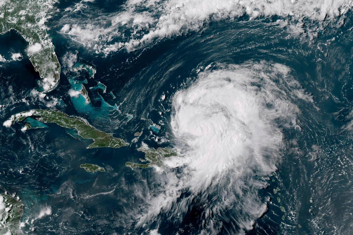
Remnants of Hurricane Ernesto could hit the UK next week – bringing wind and rain, the Met Office has warned.
Hurricane Ernesto strengthened into a Category 2 storm on Thursday night as it moved towards Bermuda, after leaving hundreds of thousands of people in Puerto Rico without power or water.
A hurricane warning was in effect for Bermuda with Ernesto expected to pass near or over the island on Saturday, and the after effects could be experienced in the UK next week, the Met Office has said.
“On Thursday we’ll start to see the remnants of ex-Hurricane Ernesto coming,” said Andrea Bishop, a Met Office spokesperson.
“At the moment, we can’t pick out broad detail so there’s low confidence in what effect this will have on the weather.”
Sunnier weather is expected this weekend with conditions fairly pleasant and some sunny spells in the South and windy, cooler and cloudier conditions in the North and Scotland.
Ms Bishop explained: “For the moment, the jet stream is split meaning that there is cooler, cloudier winder weather in the north, but the rest of the UK is a pretty nice day today, especially in the East.”
Hurricane #Ernesto is currently a category 2 hurricane 500km SSW of Bermuda with maximum sustained winds of 155 km/h. Hurricane warnings are in effect for Bermuda – follow @NHC_Atlantic for latest forecasts. pic.twitter.com/jvF61VNWvZ
— Met Office Storms (@metofficestorms) August 16, 2024
Temperatures are expected to be around average, apart from in the South East where they will be a little higher than usual for August.
However next week will bring more unsettled weather with wind and rain possible from Monday.
Ms Bishop said: “Monday sees the jet stream join together and bringing more unsettled weather for early next week with Atlantic fronts arriving.
“At the moment, there is fairly low confidence in where the wind and rain will be.”


Comments: Our rules
We want our comments to be a lively and valuable part of our community - a place where readers can debate and engage with the most important local issues. The ability to comment on our stories is a privilege, not a right, however, and that privilege may be withdrawn if it is abused or misused.
Please report any comments that break our rules.
Read the rules here